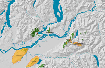


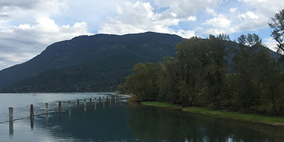
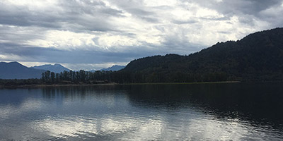
Sqwélqwel Places View from the Qithyil Site
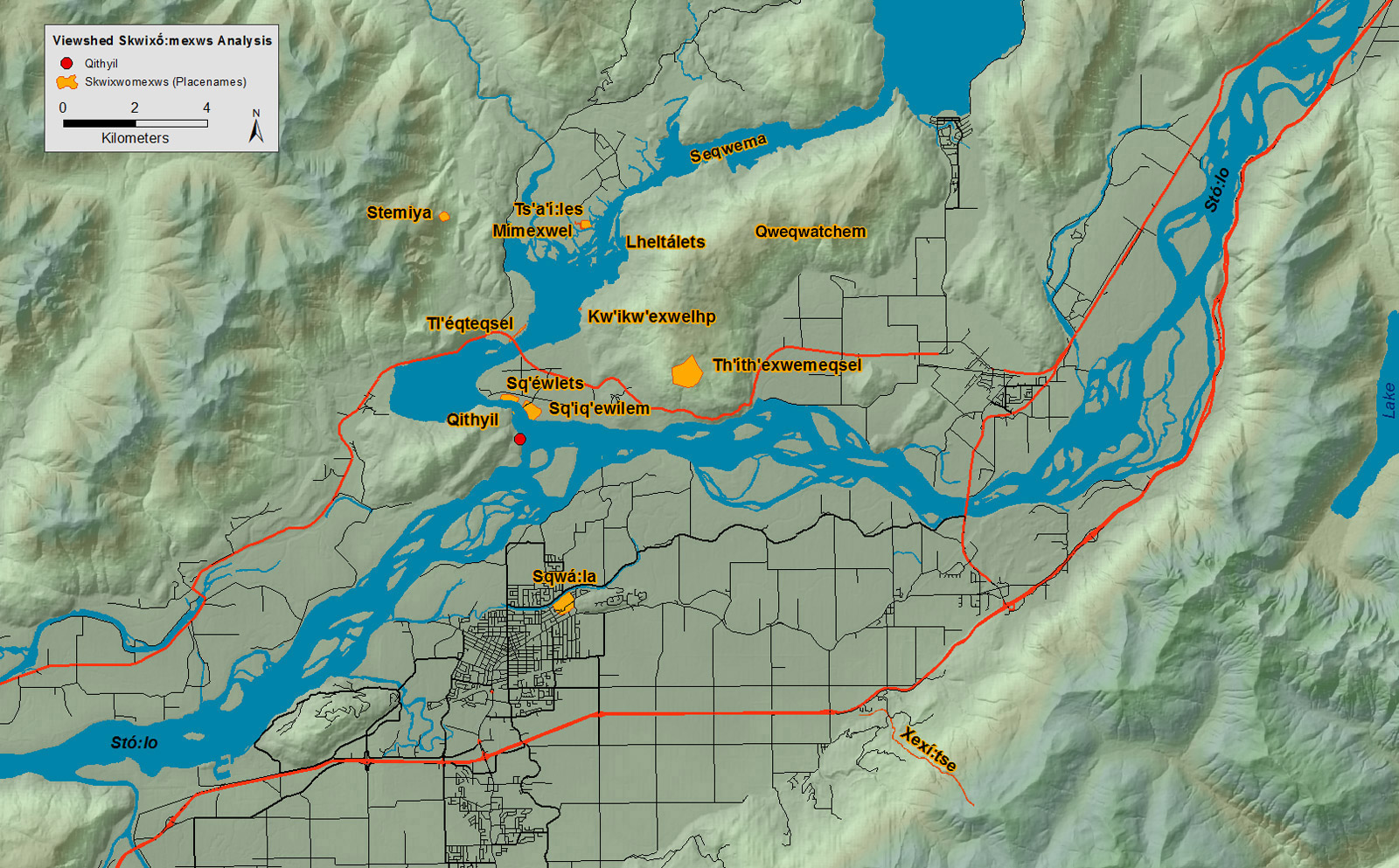
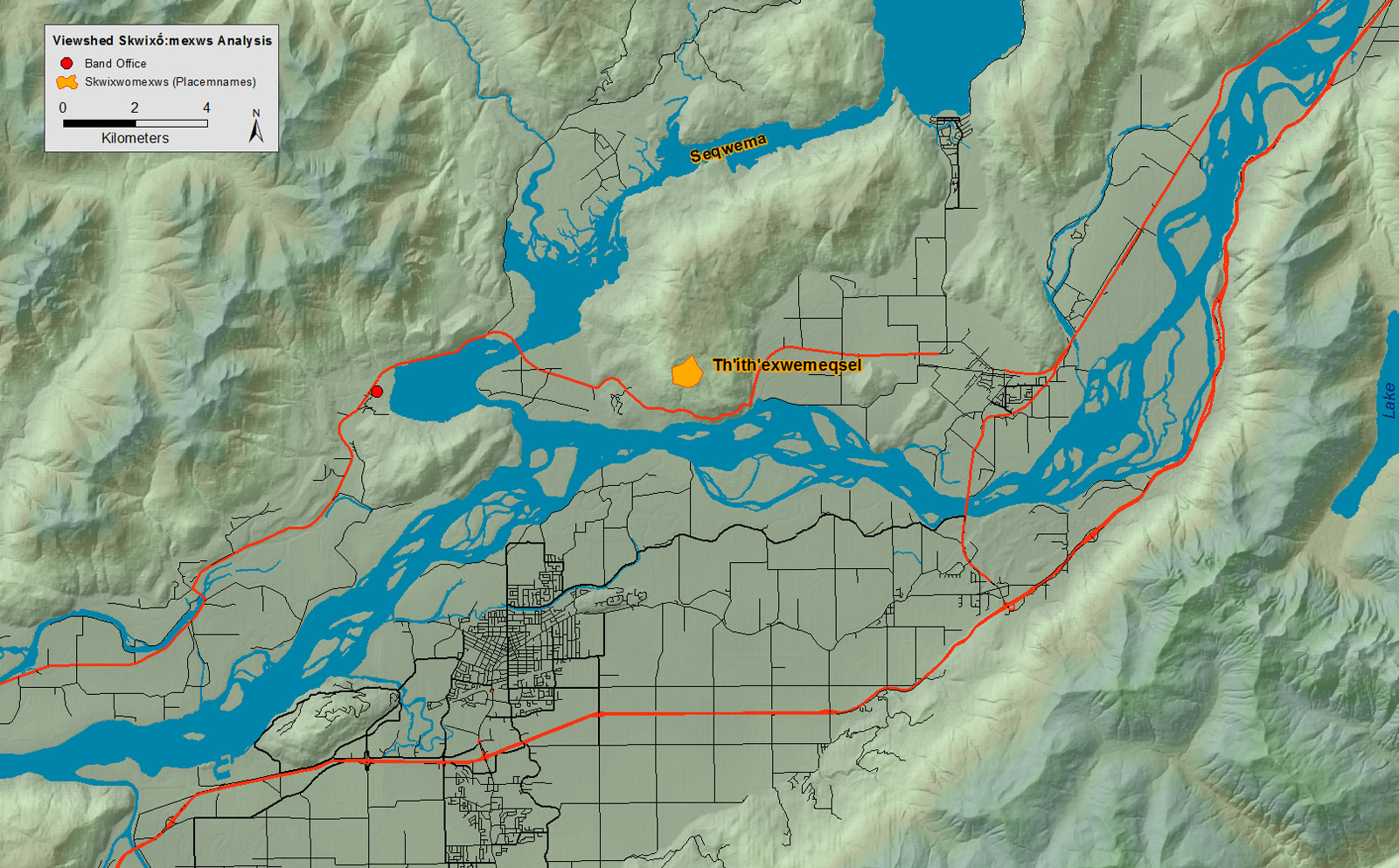
Legend: Viewshed Skiwxo:mexws Analyis
- Qithyil
- Skiwxo:mexws (Placenames)
Locations
- Stemiya
- Seqwema
- Sq'éwlets
- Th'íth'exwemeqsel
- Lheltálets
- Kw'íkw'exwelhp
- Tl'éqteqsel
- Qweqwatchel
- Skwi:áp
- Xexí:tse
- Mímexwel
- Ts'a'í:les
- Sqwá:la
- Sq'iq'ewílem
- Qithyil Site
-
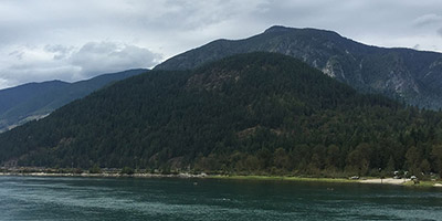
Stemiya
There is no identifiable root, but some sources identify the meaning as place of young cedar.
Close -
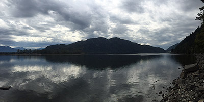
Seqwema
Some sources indicate that birch is significant to this place, and that the name (based on peeling birch bark) appears to mean peeled out.
Close -
Sq'éwlets
Sq’éwlets is based on the root q’éw, related to going around a bend in the river. The Dictionary of Upriver Halkomelem notes 'the river turns there [about two miles east of present Scowlitz reserve] around the bottom of a mountain. The new Scowlitz was named after the old village but is not on a turn'.
Close -
Th'íth'exwemeqsel
The name is based on the meaning nose. It may mean literally 'pity nose', but it may mean instead 'washing nose'.
Close -
Lheltálets
The name appears to mean 'getting splashed on the bottom'. Some sources translate it as 'splashing bottom of canoe'. According to the Dictionary of Upriver Halkomelem, the name refers to 'a channel between an island and the main shore across Harrison River where the Phillips Longhouse was at Chehalis village, ...and also at Harrison Lake where a hatchery was'.
Close -
Kw'íkw'exwelhp
The name comes from jack pine tree. The dictionary of Upriver Halkomelem identifies the place as 'next mountain above...Títxwemqsel...'jack pines used to grow there long ago'.
Close -
Tl'éqteqsel
Literally long nose, used for long beach or long point. The Dictionary of Upriver Halkomelem identifies it as 'longest dirt point sticking out on Harrison River about a quarter mile above Harrison Bay Bridge'.
Close -
Xexí:tse
The base word appears to be a partially doubled ('reduplicated') form of xó:tsa- lake. The particular kind of doubling marks plural or many, giving the meaning many lakes.
Close -
Mímexwel
The name refers to dirty water, muddy water. The Dictionary of Upriver Halkomelem identifies the place as 'next slough on north side of Harrison River above ... Smímstíyexwá:le, a muddy slough where fish spawn'.
Close -
Ts'a'í:les
Some sources give the meaning as 'laying on chest'. The Dictionary of Upriver Halkomelem describes the name origin as coming from a rock that lay near the mouth of the Chehalis river; this rock appears to have been supported by a tree root, and would move up and down, beating like a heart.
Close -
Sqwá:la
Literally sqwá:la therefore means 'container of holes'. Some sources indicate that this name comes from the fact that there are or were many graves (i.e. 'holes') at this site.
Close -
Sq'iq'ewílem
The name, as with several other names, appears to come from going around a little bend in the river. The root word is q’éw which occurs in many words related to turning or going around a bend.
Close
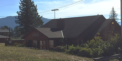
Sqwélqwel Places View From the Sq’éwlets Band Office
Legend: Viewshed Skiwxo:mexws Analyis
- Qithyil
- Skiwxo:mexws (Placenames)
Locations
- Stemiya
- Th'íth'exwemeqsel
Xwelmexw (People/Places)