
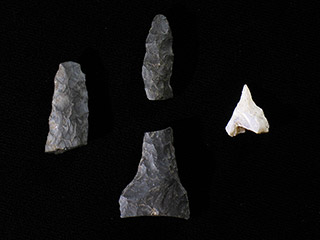


Qithyil is one of many villages within S’ólh Téméxw with histories going back 3,000 years. Our other ancestral places date back further, to over 6,000 years. The ancient villages, such as Hiqelem, Th’ewa:lí, Shxw’ow’hamel, Sxwóxwiymelh, Welqámex, Eyxel, and X̠elhálh, changed over time, growing in size with the changing needs and relations of our extended families. Our ancestors built both plank houses and pithouses. Sqémél (pithouses) were commonly built by our Halq’eméylem-speaking upriver Stó:lō relatives. Qithyil includes plank and pithouses. It was purposefully built at the place where the two rivers meet at a major junction in travel routes. Our ancestors maintained their place here as a point of connection with other Stó:lō–Coast Salish throughout the Coast Salish region. Our belongings show how we acquired goods from far and wide. The goods our ancestors’ made also traveled along these networks of trade. They are found as belongings in other villages throughout the region. Our sqwélqwel becomes stronger the more we know of our history, at Qithyil and beyond, as a part of the history of this region.
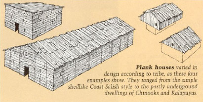
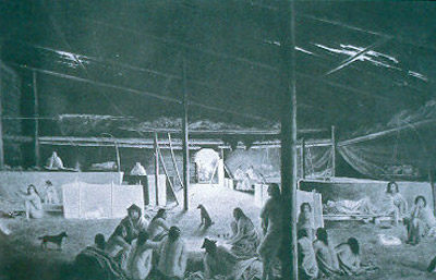
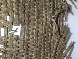
Plank houses varied in design according to tribe, as these four examples show. They ranged from the simple shedlike Coast Salish style to the partly underground dwellings of Chinooks and Kalapuyas.

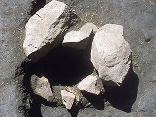
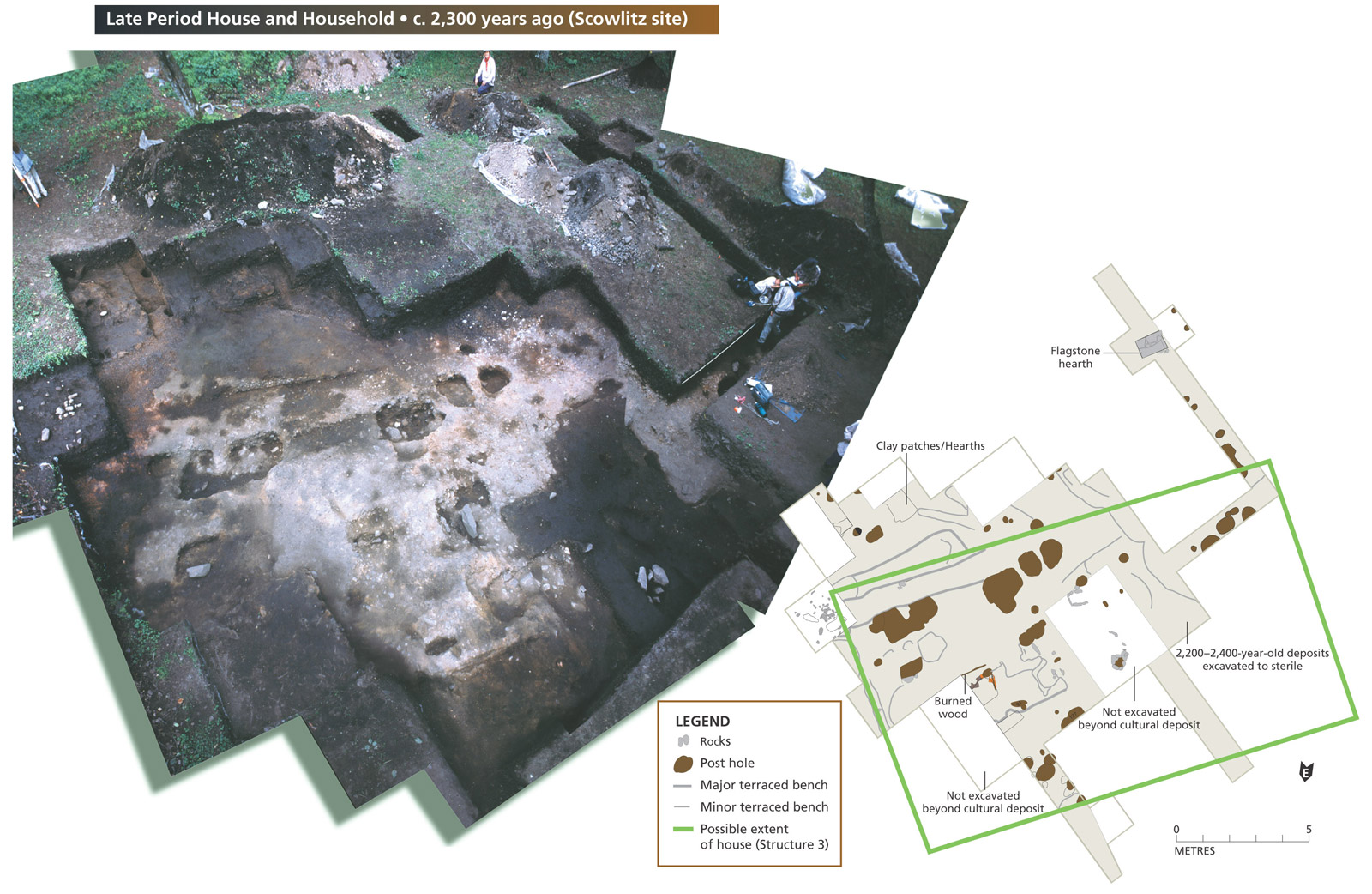
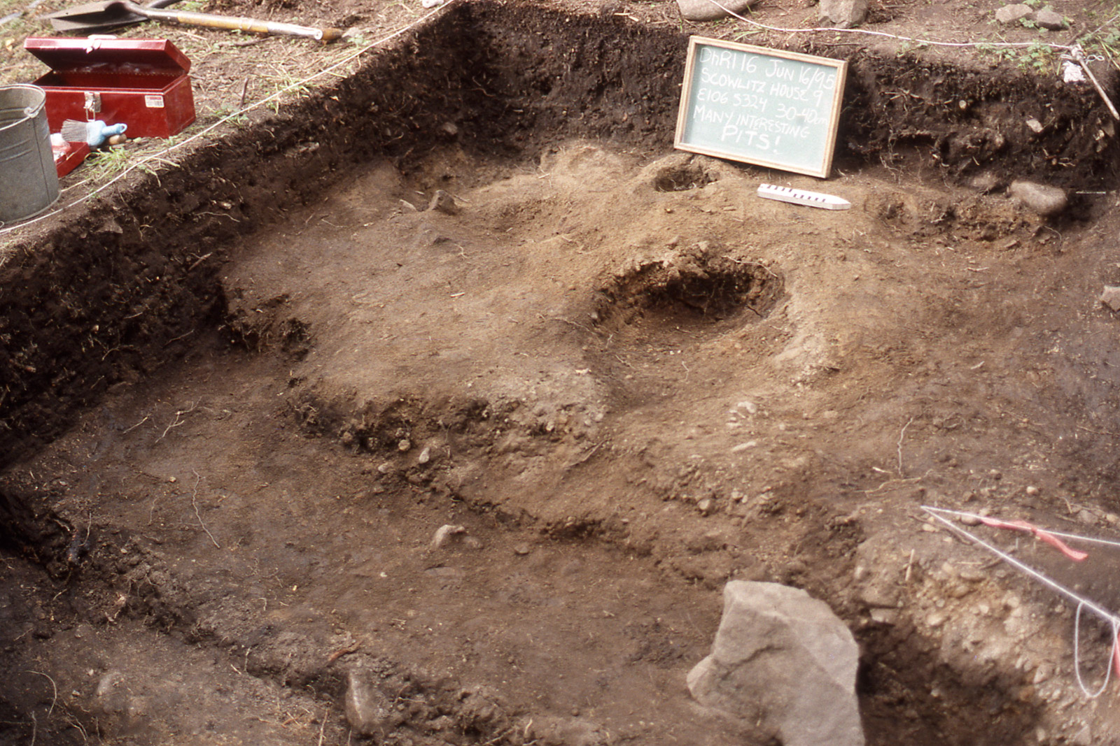
- Clay patches/hearths
- Flagstone hearth
- Major benches
- Postholes
- Minor Benches
- Rocks
- Burned Beam
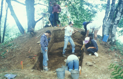
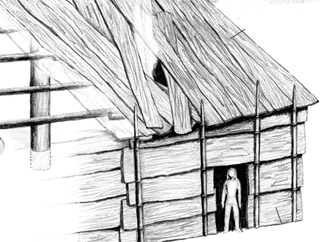
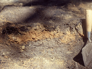
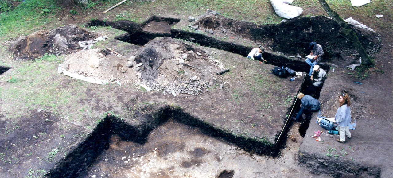
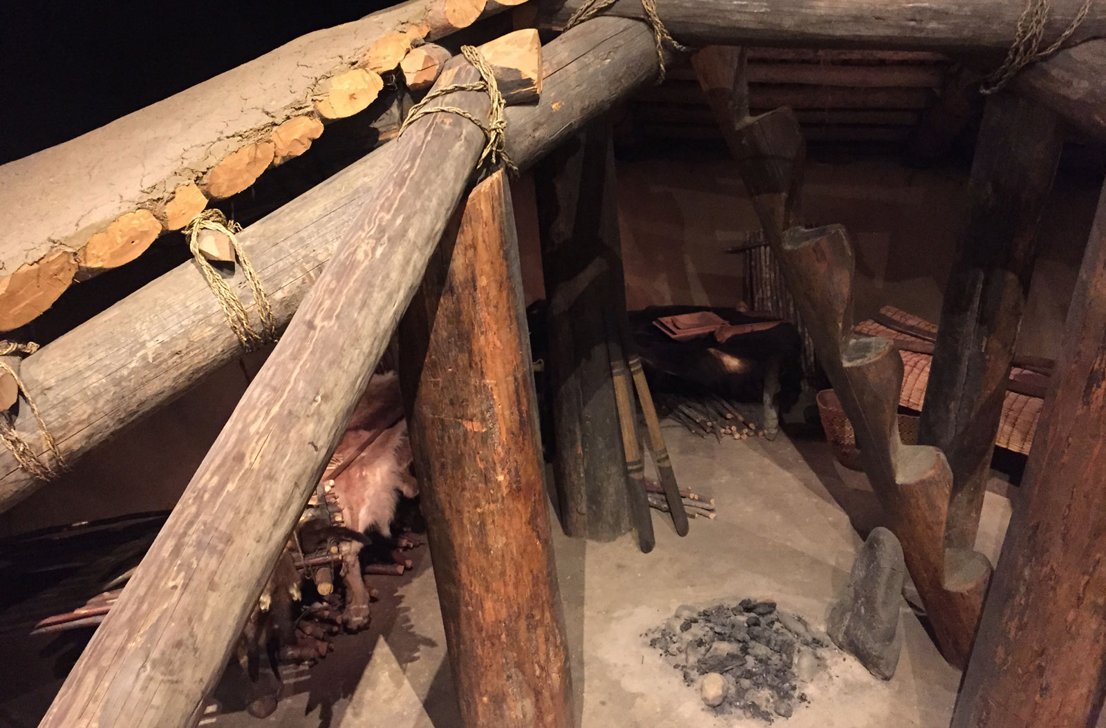
Our ancestors chose Qithyil as their home 3000 years ago. The first people to settle at Qithyil built a four metre-wide redcedar plank house—s'iltexwáwtxw—that faces east towards both the river and the sunrise. The archaeologists who discovered this early house are not sure of its length because later generations of residents built a much larger house on top of the first one—partly destroying it in the process. People living in the earliest houses cooked fish, birds, and small mammals in their fireplaces and in large earth oven-pits near the house.
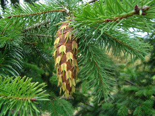
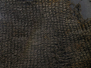
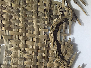
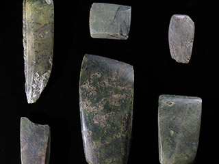
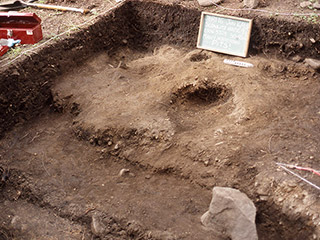
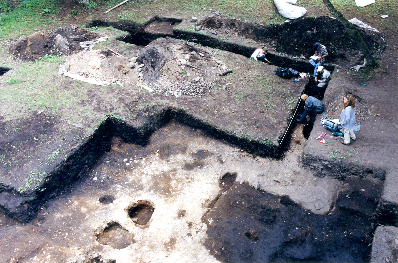
Around 2400 years ago, the people of Qithyil built larger plank houses along the river terrace. In one of them, we uncovered ancient floors, fireplaces, postholes and storage pits, along with tools and other belongings. The pattern of postholes, in which the main house posts were placed, along with fragments of clay floors, showed that this house was at least 11 metres wide and 17 metres long. This and other houses in the village would have looked much like the longhouses still in use today across Stó:lō territory. They were made with redcedar that woodworkers cut from the forest and milled for their building materials, canoes, tools and artworks.
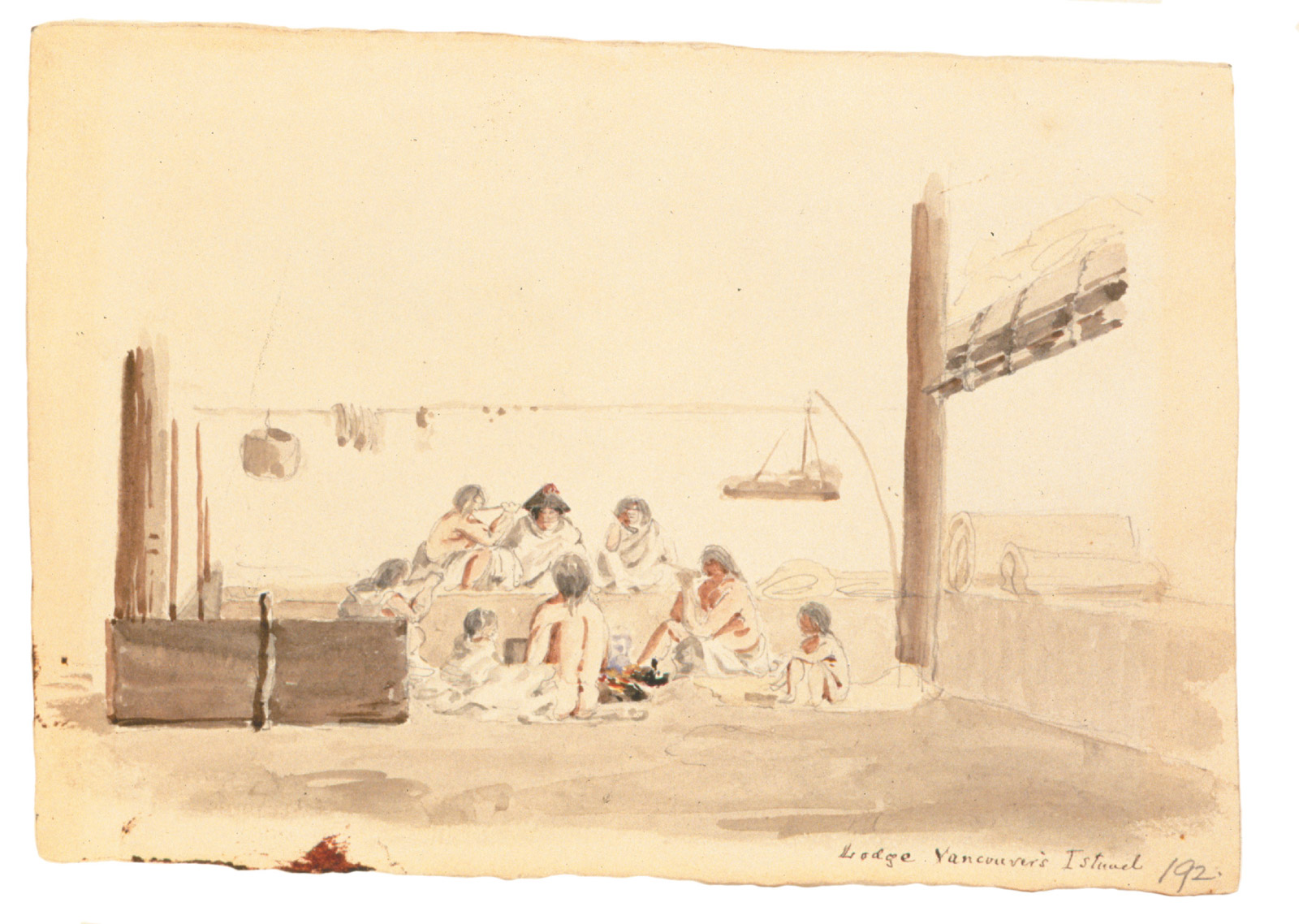
Our ancestors harvested and preserved salal and elderberries, salmon and deer. They dried and smoked these foods outside during the warm months and stored them safely indoors for use during the long winter when food was less plentiful. Relatives and friends from many villages along the river came to Sq’éwlets territory to visit the Qithyil village and traded their goods for our dried salmon.
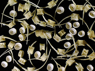
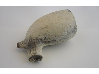
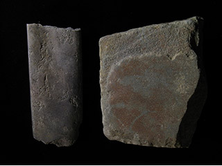
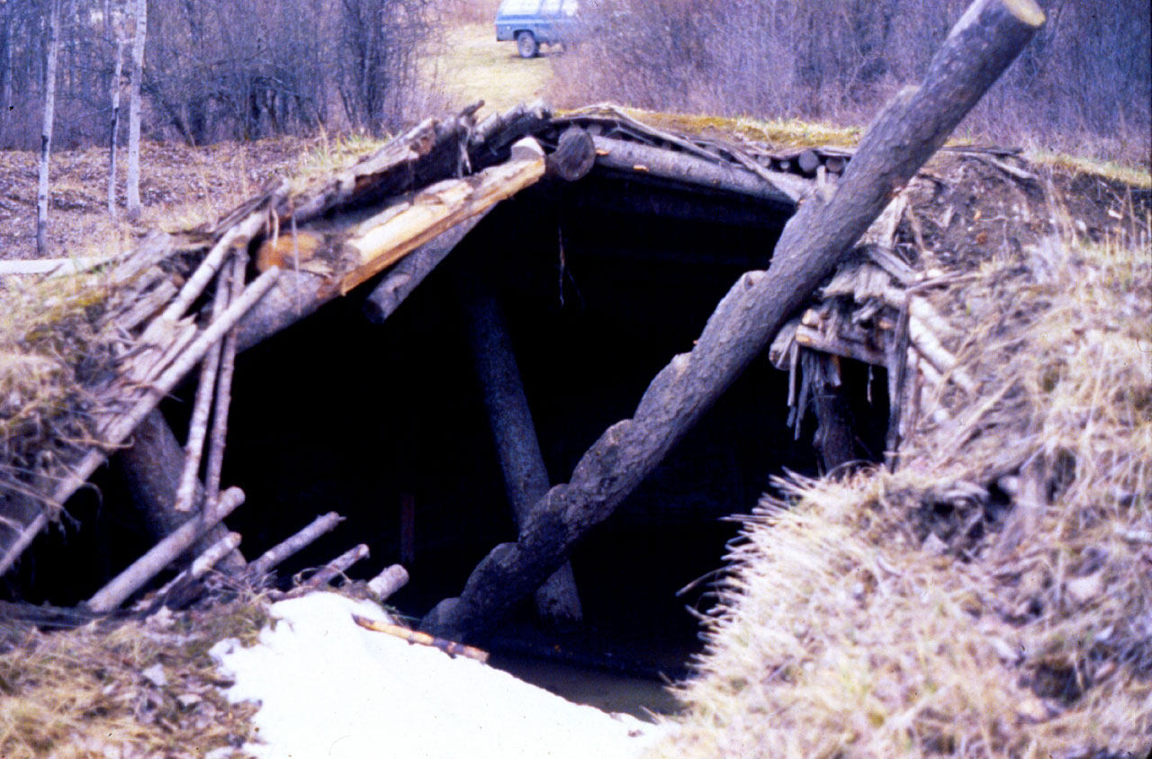
Beginning about 500 years ago, Sq’éwlets people built pithouses—sqémél—a short distance upriver from Qithyil. These warm houses were partly underground and could be either round or square-shaped. The roofs were covered with logs and earth to keep them warm during the long winter months when the river was frozen. Like the cedar plank houses, there are many ancient belongings in and around these pithouses, some of them showing trade with Xwelítem (European settlers). A plank house was also built on the island about 700 years ago and was lived in until the 1800s. Belongings from this village include our traditional tools and also European goods like clay pipes.
Ancient Plant Use
The word paleo – ethno – botany means studying how people used plants in ancient times: paleo=old, ethno=people, and botany=plants. Through this kind of work we learned a lot about how our ancestors lived and worked in the forests and on the rivers at Qithyil. They harvested and used many types of plants through the seasons. Our women gathered green plants for vegetables and berries as fruits. Our men cut trees to make big plank houses and cedar canoes and many types of tools. They used select trees for firewood. Families paddled to different places to harvest these plants. When it became cold and rainy, they came into the plank house to carve and feast and tell stories through the winter.
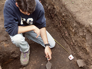
We know these things from the traces they left behind. Working together with archaeologists, we dug the old plank houses at Sq’éwlets. The houses had fireplaces on their floors for cooking and heating. We also dug areas outside the houses where people worked. Samples of earth were collected from each of these places so that Natasha Lyons, a paleo-ethno-botan-ist, could put them in big buckets of water to sort. Burned pieces of wood, seeds, and other plant bits float to the surface and can be skimmed off. These were carefully dried and taken to the lab.
Using a high power microscope, Natasha sorted the tiny bits into seeds and wood. They told a story. They showed that our ancient people collected many types of fruits. Their favourites were salal, elderberries, and salmonberries. They picked these berries in summer and cooked them over outdoor fires, making raisins and fruit leather. These foods were stored to eat in winter, when the cooking was done inside. Families collected firewood to cook and keep warm. They preferred maple, red alder, and Douglas-fir trees for burning.
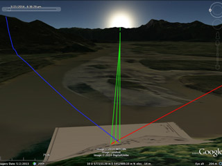
Solar Alignment of the Village
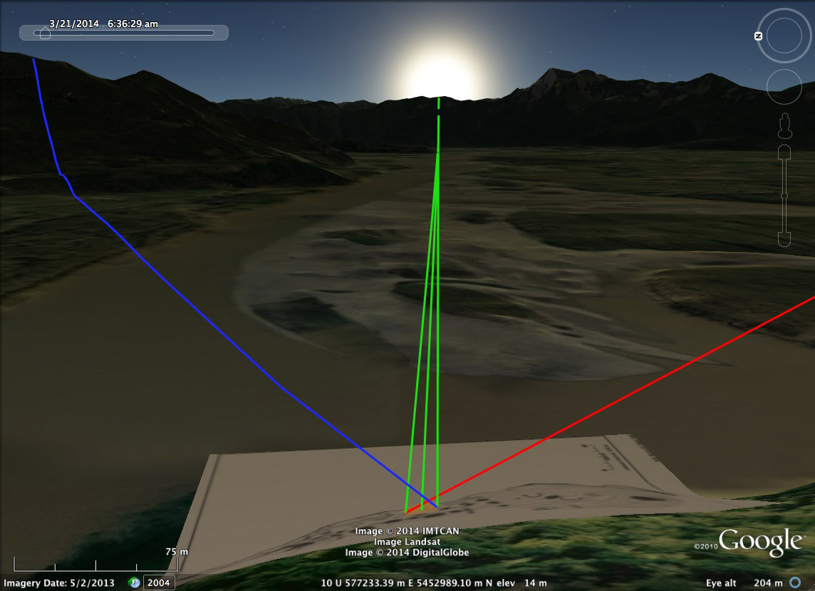
The remains of house structure 3 that we excavated at Qithyil show that it was built to face directly east towards the location of spring and fall equinox sunrise on March 21st and September 21st. These are the dates that mark the beginning of spring and fall. The green lines trace the view from the house front to the place where the sun rises above the distant horizon. This image, made using Google Earth, also shows the locations of summer solstice sunrise (blue line-June 21st, or beginning of summer) and winter solstice sunrise (red line-December 21st, beginning of winter).
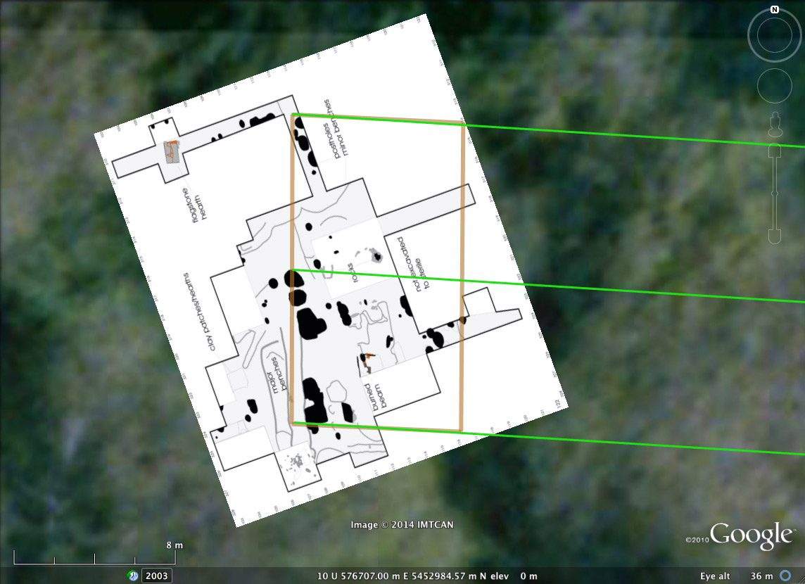
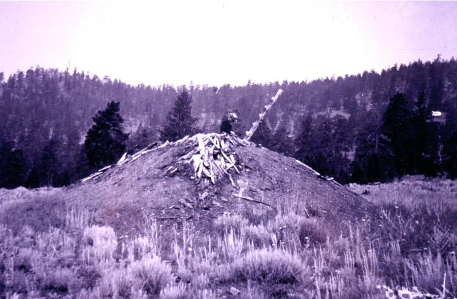
This close-up image of the floor plan of house structure 3 shows how our ancestors precisely oriented this big house to face the rising sun during the spring and fall equinoxes (March 21st and September 21st). In this view, east is to the right of the image showing how the sight lines (green) from the house align very closely to the point on the distance horizon where the sun rises on the equinoxes. This is very different from the ancestor mounds that were built many centuries after this house was abandoned. The ancestor mounds face directly towards the point on the horizon where the sun rises on the summer solstice (June 21st).
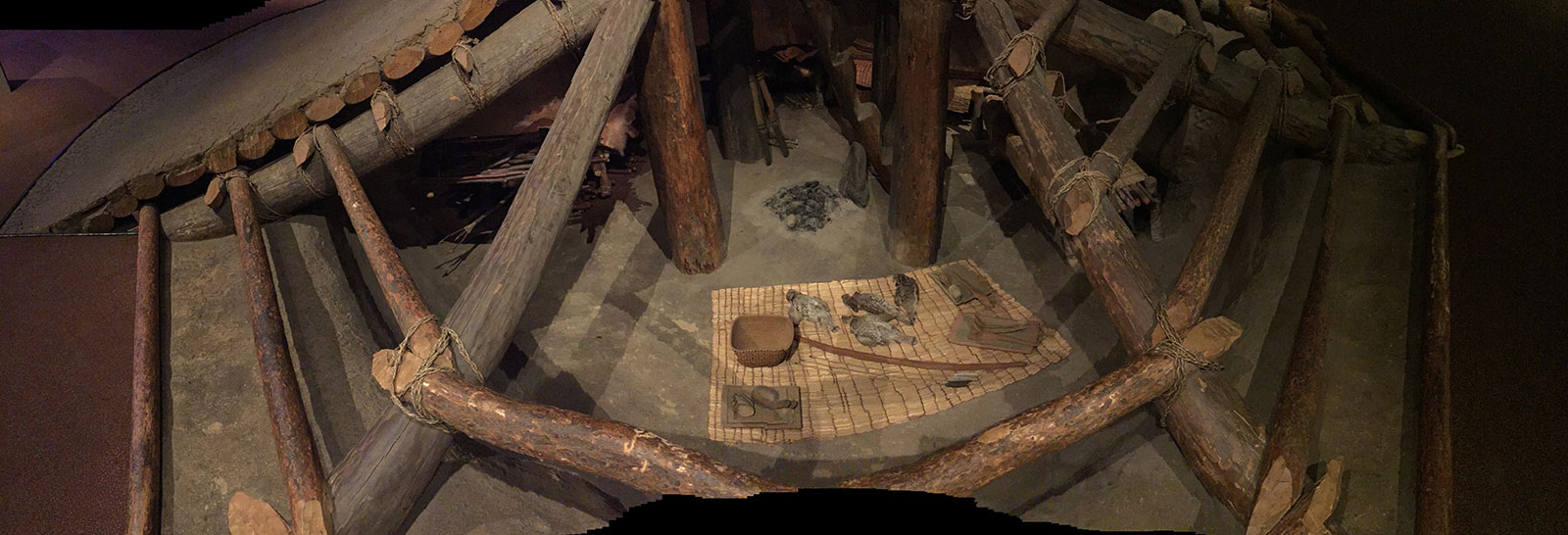
Plank Houses
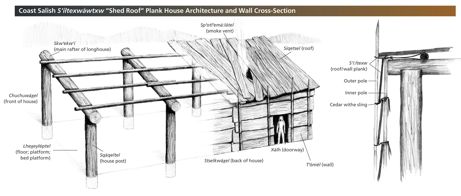
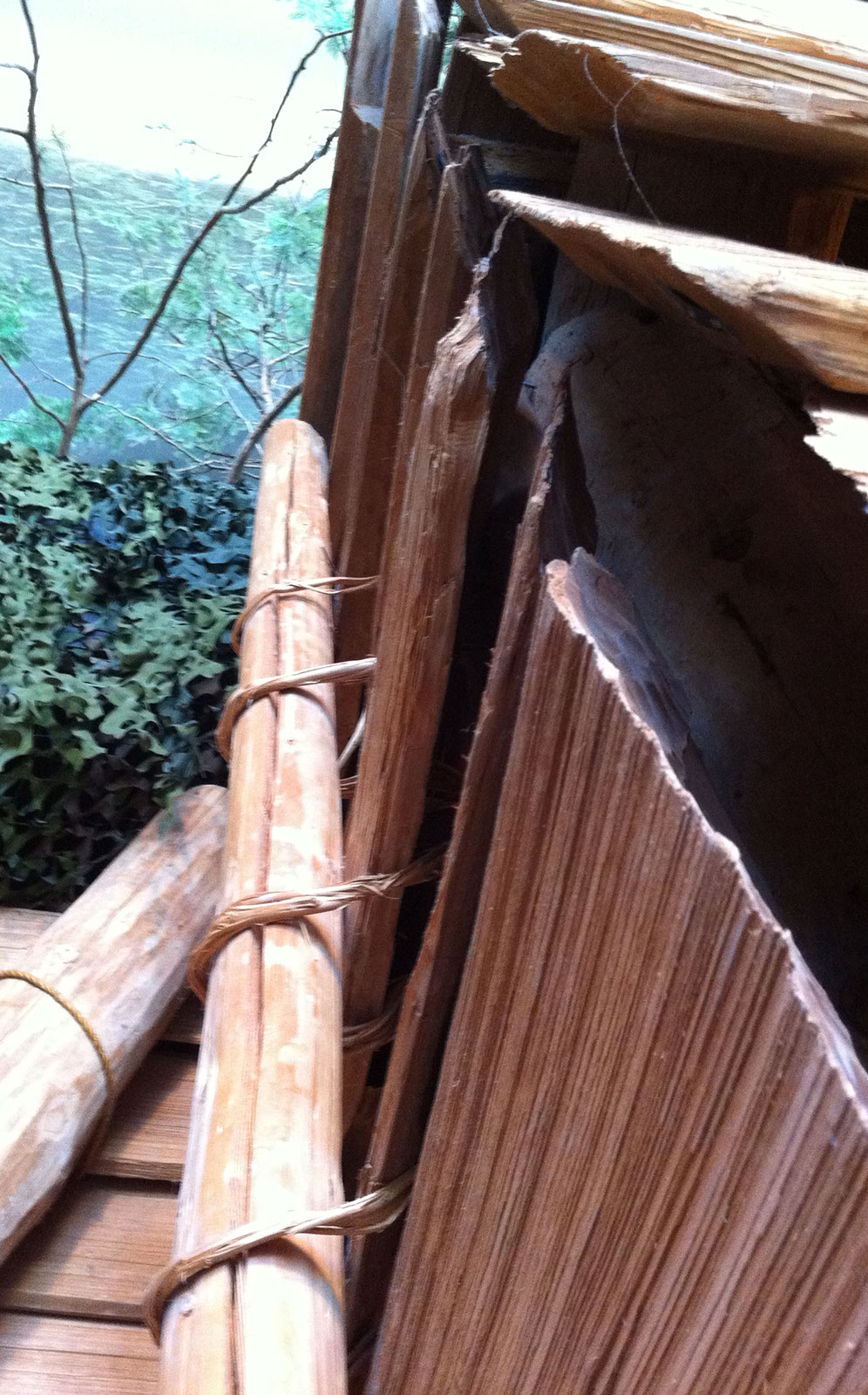
Coast Salish S’iltexwawtxw “Shed Roof” Plank House Architecture and Wall Cross-Section
- Skw’wkw’i (main rafter of longhouse)
- Chuchuwaxel (front of house)
- Lhexeyleptel (floor; platform; bed platform)
- Sqaqeltel (house post)
- Sp’otl’ema:latel (smoke vent)
- Siqetset (roof)
- Steslkwaxel (back of house)
- Xalh (doorway)
- T’omel (wall)
- S’i:ltexw (roof/wall plank)
- Outer pole
- Inner pole
- Cedar withe sling
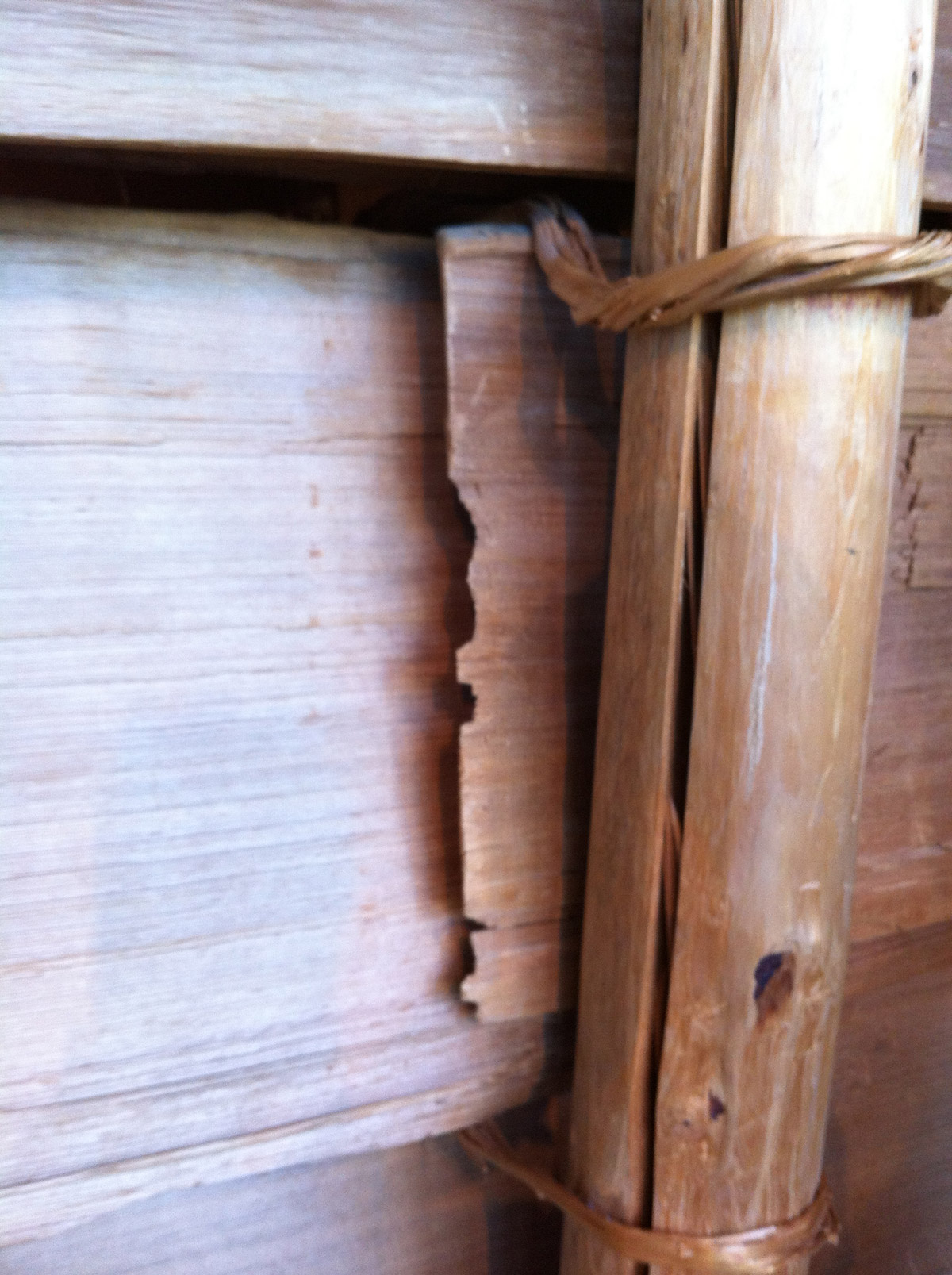
House post of a re-created Coast Salish plank house
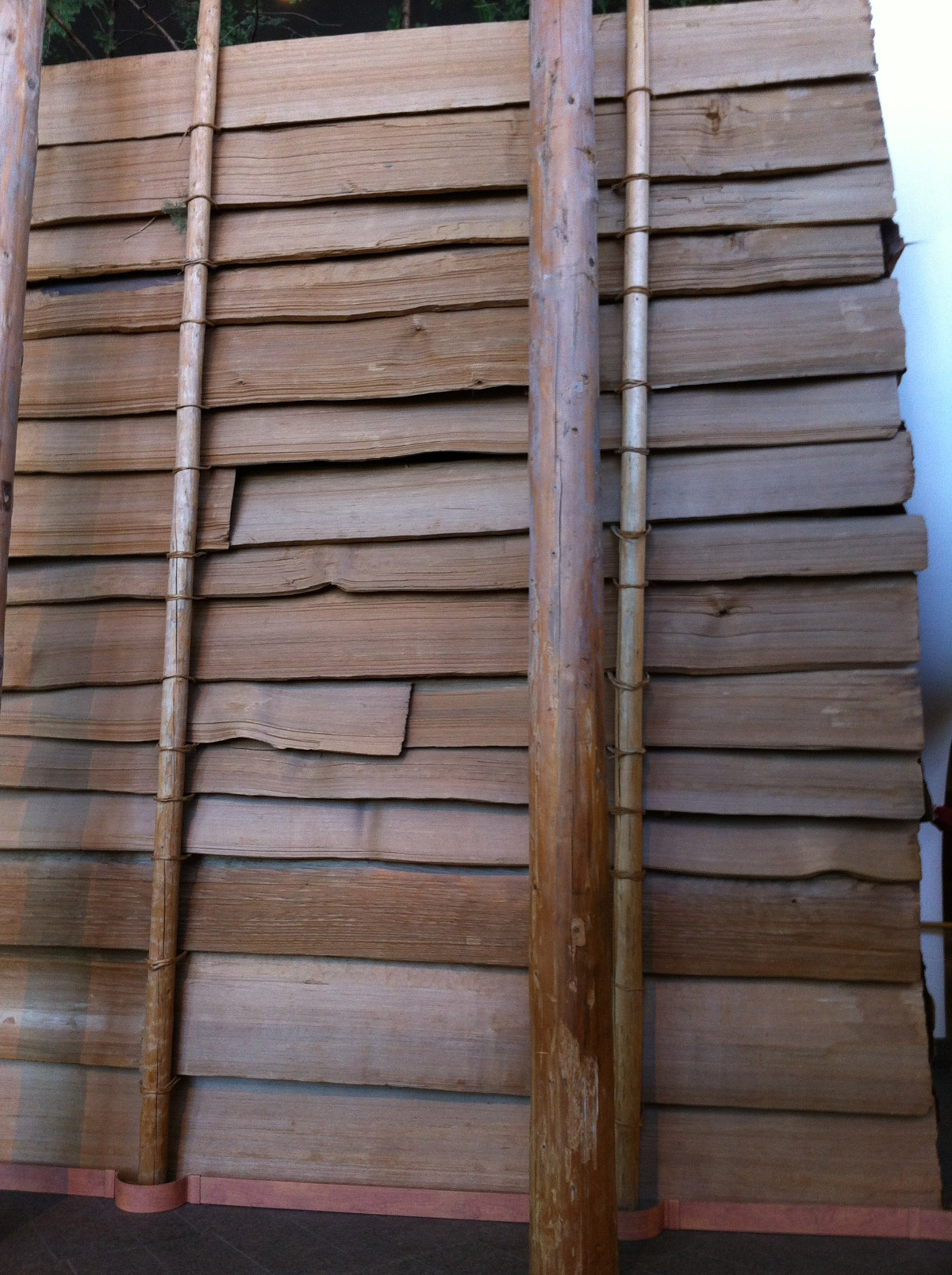
Exterior of a re-created Coast Salish plank house showing overlapping horizontal planks
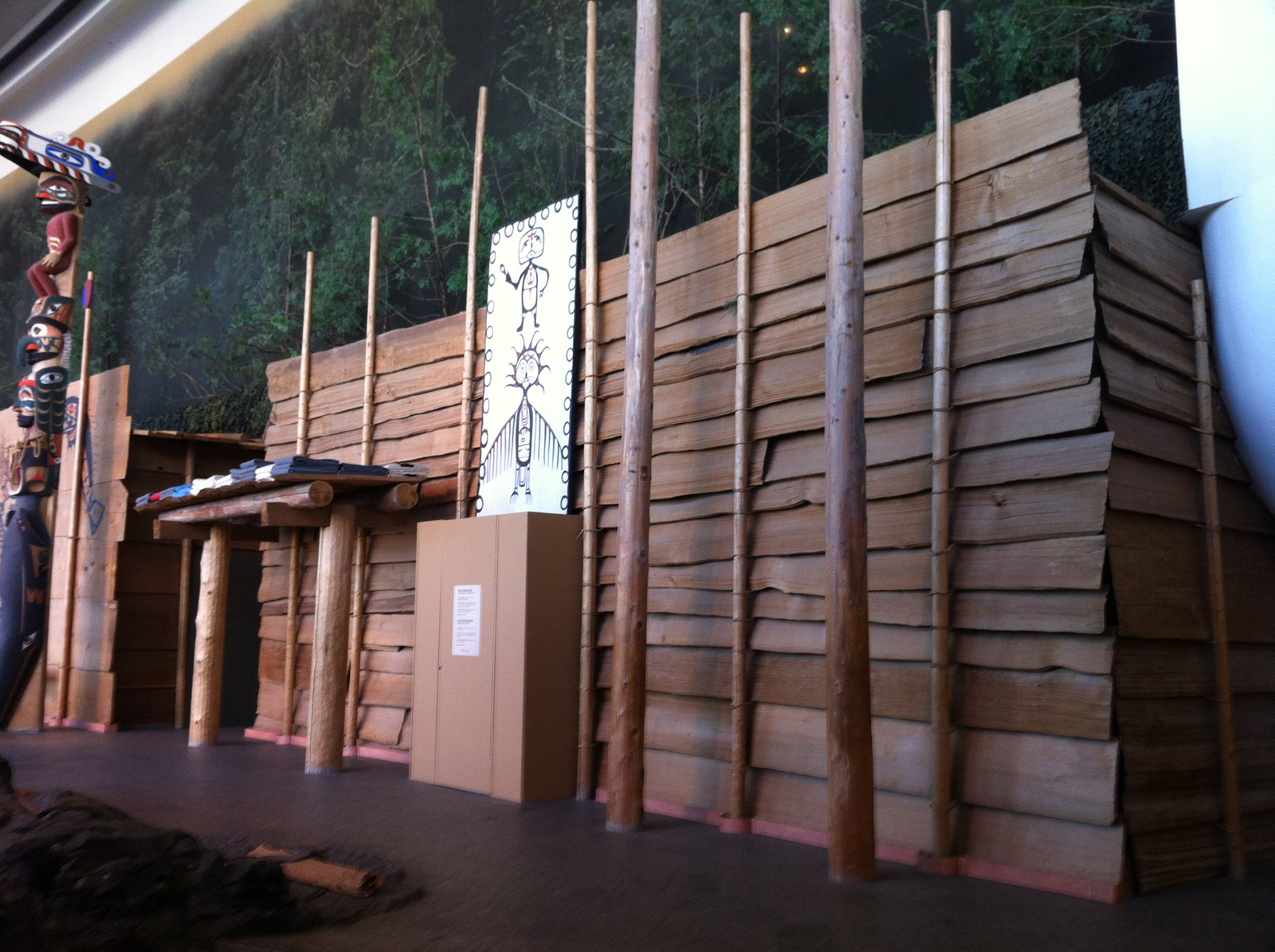
Re-creation of a Coast Salish plank house showing front and entryway
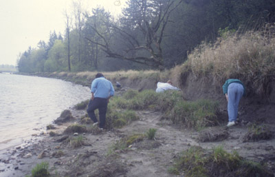
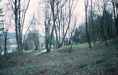
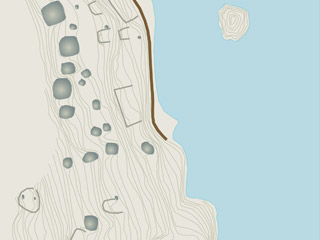
Qithyl Island & Village Site
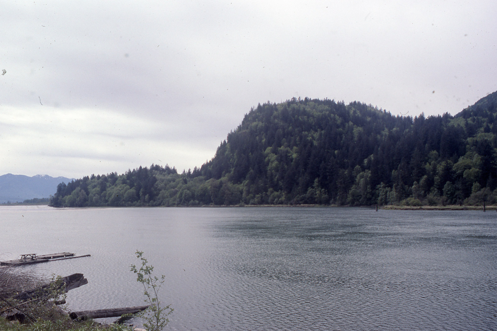
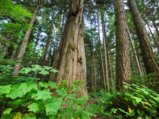
Looking west across the Harrison River to Harrison Knob with the Qithyil site at its base
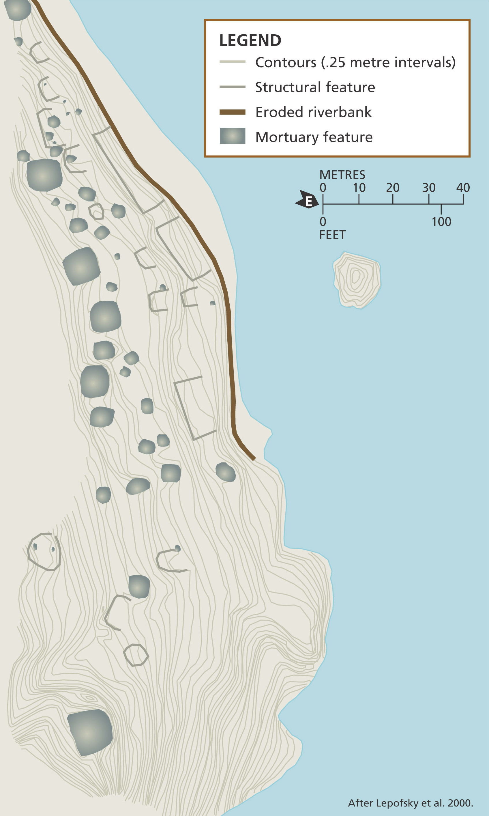
Map showing the houses and ancestor mounds at Qithyil with a line showing the bank erosion
Legend
- Contours (.25 metre intervals)
- Structural feature
- Eroded riverbank
- Mortuary feature
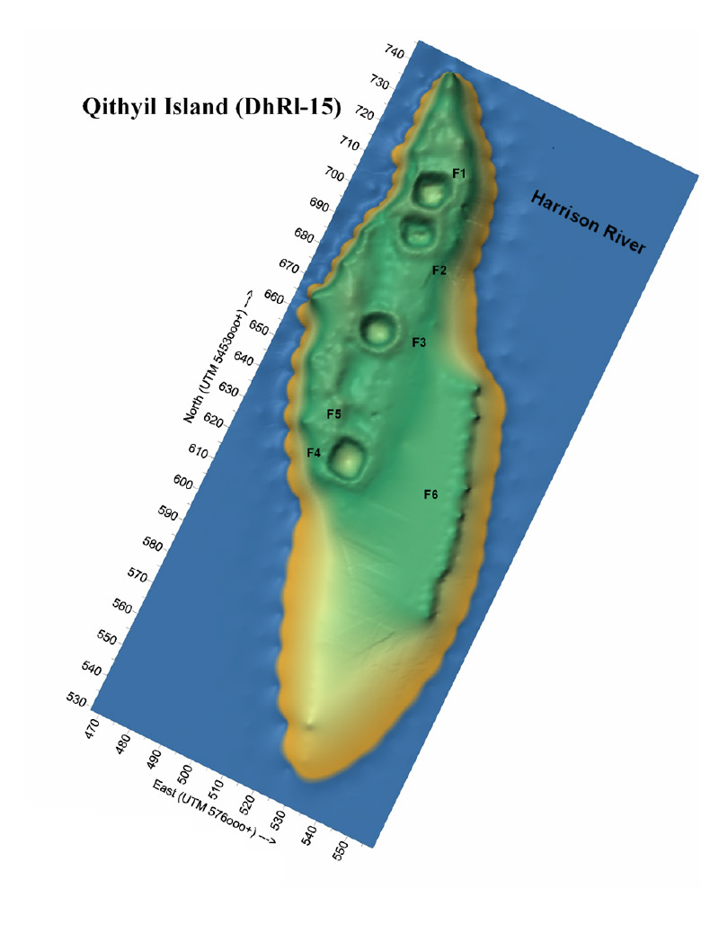
Map showing the ancient house features on Qithyil Island
- l’île Qithyil Island
- Harrison River